










产品概述
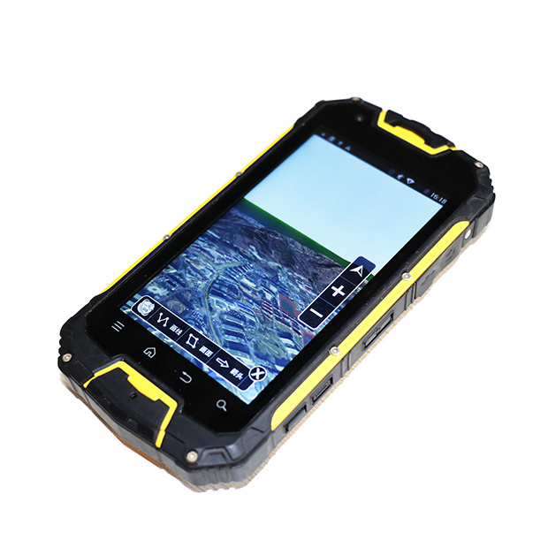
PROCUCT OVERVIEW三维GIS基础平台利用数据对现实世界空间关系的模拟,直观展示空间各种事物的状态,通过比例缩放,形象、逼真、清楚地反映事物的特征,清晰展现地物外形轮廓,向用户立体地展现地理空间现象,并提供三维分析,为有效决策提供更有力的依据。
技术参数
SPECIFICATION1、支持影像、地形、地图、矢量、手工建模数据、地下管线、倾斜摄影模型、 BIM、激光点云、三维场数据等海量三维数据的高性能加载与显示
2、支持海量实时动态数据的高效绘制
3、支持三维空间分析及分析结果输出:通视分析、可视域分析、天际线分析、日照分析、剖面分析、开敞度分析等
4、支持体元栅格的高效可视化
5、基于地表的距离和面积量算功能
6、基于 GPU 的三维空间查询及三维空间关系判定
7、视频投放支持多边形裁剪,可仅显示指定区域的视频
8、前端基于点缓存制作标签专题图,支持实时修改风格
9、矢量瓦片 (MVT) 支持三维文字,优化加载和浏览性能
10、矢量瓦片 (MVT) 图层支持牵引线和图标,并自定义图片作为文字背景
应用示例
APPLICATION EXAMPLESN
浩海慧眼卫星遥感火情监测平台第一时间发现四川凉山冕宁火情
北京时间2019年2月28日上午10时40分,四川省森林消防总队接到火情通报,四川省凉山州冕宁县泸沽镇大坪村一组附近地区发生森林火灾。由我司自主研发的浩海慧眼卫星火情监测平台在北京时间2019年2月28日上午06时12分52秒检测到该火情并发出警报,比报道火情的时间提前了4个多小时。...
查看更多+
山东省济南市森林防火辅助决策系统
山东省济南市森林防火辅助决策系统该系统将视频监控与地理信息系统、全球定位系统、林火自动识别报警系统、多媒体技术结合起来的,能够实现森林火灾火情实时监控、林火自动识别、自动报警功能的信息网络系统。...
查看更多+
山东应急厅应用浩海科技卫星遥感火情预警系统
山东省应急厅应用浩海科技卫星遥感火情预警系统,它可以实时监测省内火情信息,通过卫星扫描定位,每10分钟就可以更新一次火情数据,实现明火快速发现,准确定位,快速处置。...
查看更多+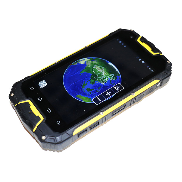




青岛浩海网络科技股份有限公司
股票代码:430695
- 0532-87920299/13026520708
- 0532-87920299
- haohai@ehaohai.com
- www.ehaohai.com
- 经营地址:青岛市市北区人工智能产业集聚区4号楼

技术支持: 青岛网站建设