0532-87920299/13026520708
haohai@ehaohai.com











产品概述
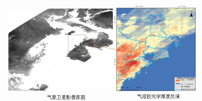
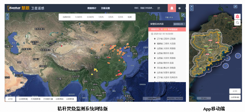
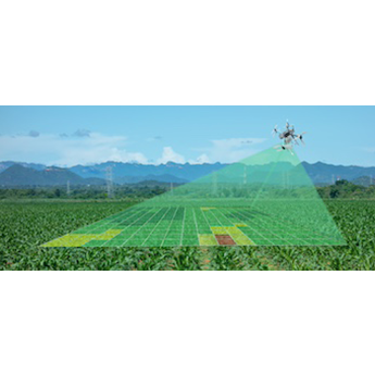
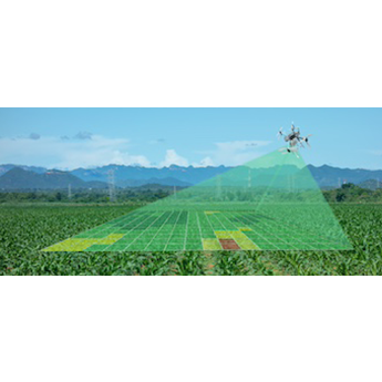
PROCUCT OVERVIEW结合气象卫星、高分遥感卫星、地面监测站点等多源数据,实现大气环境、水环境、土壤环境和生态环境等应用场景的精准反演,分析提取生产各类专题产品,提供定期监测服务,为生态环境治理和执法提供可靠参考数据源。
技术参数
SPECIFICATION应用示例
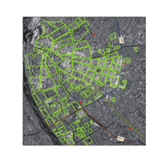
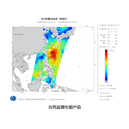
APPLICATION EXAMPLESN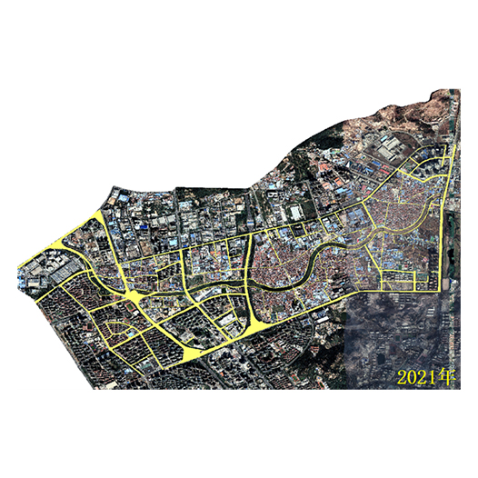

青岛浩海网络科技股份有限公司
股票代码:430695
联系我们
- 0532-87920299/13026520708
- 0532-87920299
- haohai@ehaohai.com
- www.ehaohai.com
- 经营地址:青岛市市北区人工智能产业集聚区4号楼
在线留言

技术支持: 青岛网站建设

0532-87920299/13026520708